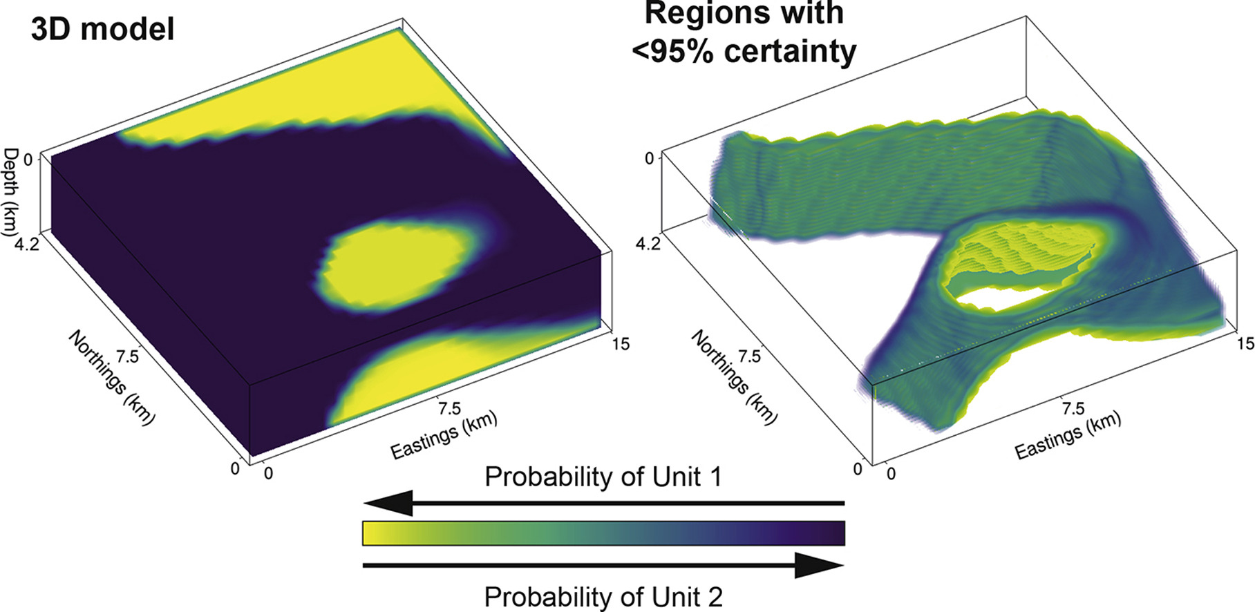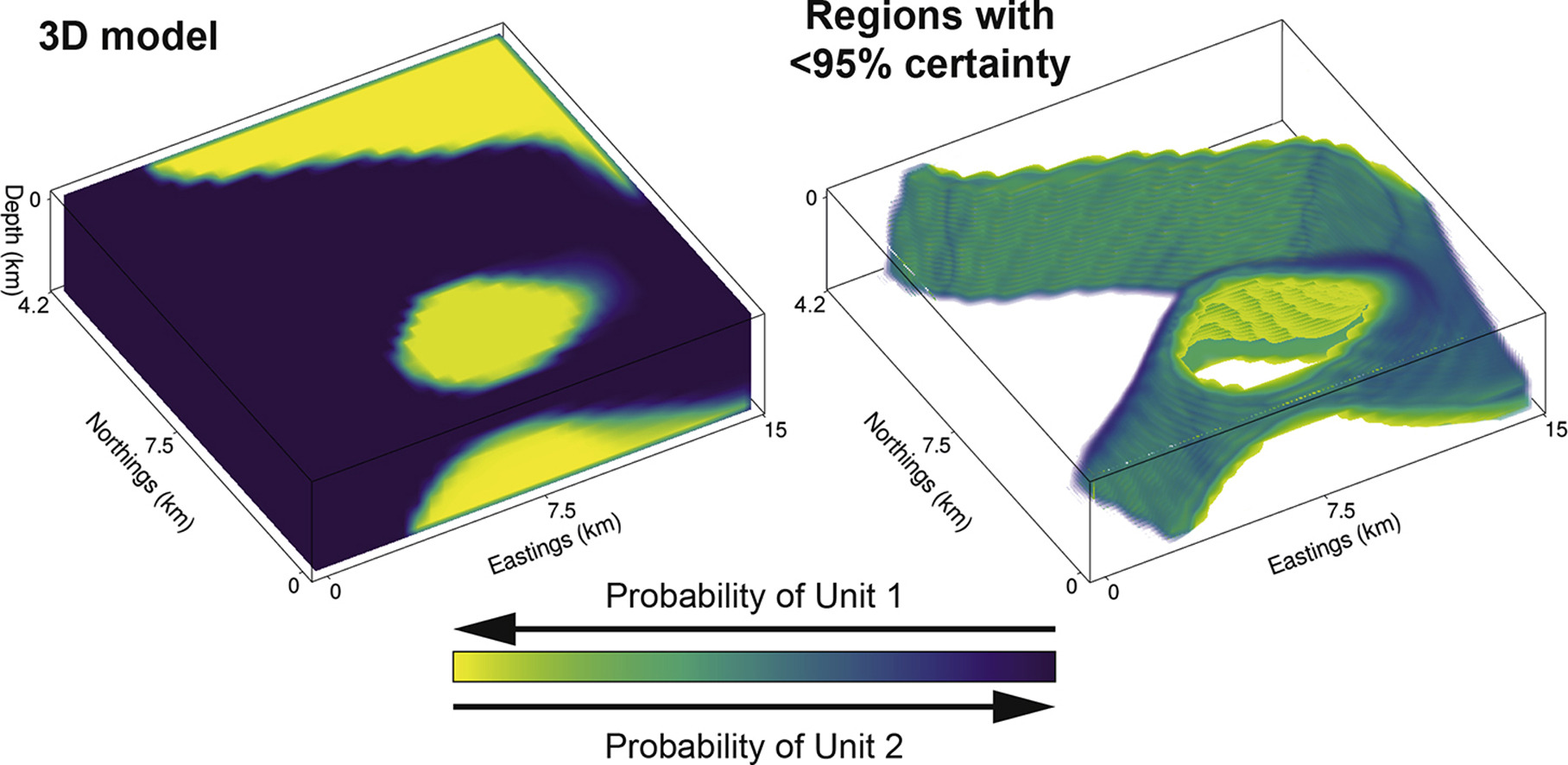
Abstract: Traditional approaches to develop 3D geological models employ a mix of quantitative and qualitative scientific techniques, which do not fully provide quantification of uncertainty in the constructed models and fail to optimally weight geological field observations against constraints from geophysical data. Here, using the Bayesian Obsidian software package, we develop a methodology to fuse lithostratigraphic field observations with aeromagnetic and gravity data to build a 3D model in a small (13.5 km × 13.5 km) region of the Gascoyne Province, Western Australia. Our approach is validated by comparing 3D model results to independently-constrained geological maps and cross-sections produced by the Geological Survey of Western Australia. By fusing geological field data with aeromagnetic and gravity surveys, we show that 89% of the modelled region has >95% certainty for a particular geological unit for the given model and data. The boundaries between geological units are characterized by narrow regions with <95% certainty, which are typically 400–1000 m wide at the Earth’s surface and 500–2000 m wide at depth. Beyond ~4 km depth, the model requires geophysical survey data with longer wavelengths (e.g., active seismic) to constrain the deeper subsurface. Although Obsidian was originally built for sedimentary basin problems, there is reasonable applicability to deformed terranes such as the Gascoyne Province. Ultimately, modification of the Bayesian engine to incorporate structural data will aid in developing more robust 3D models. Nevertheless, our results show that surface geological observations fused with geophysical survey data can yield reasonable 3D geological models with narrow uncertainty regions at the surface and shallow subsurface, which will be especially valuable for mineral exploration and the development of 3D geological models under cover.
Citation: Olierook, H.K., Scalzo, R., Kohn, D., Chandra, R., Farahbakhsh, E., Clark, C., Reddy, S.M. and Müller, R.D., 2020. Bayesian geological and geophysical data fusion for the construction and uncertainty quantification of 3D geological models. Geoscience Frontiers, accepted 25 April 2020, https://doi.org/10.1016/j.gsf.2020.04.015.
To download the paper, click here. For access to the model code, click here.
![]()

