Physics of the Earth and Planetary Interiors – Assimilating lithosphere and slab history in 4-D Earth models

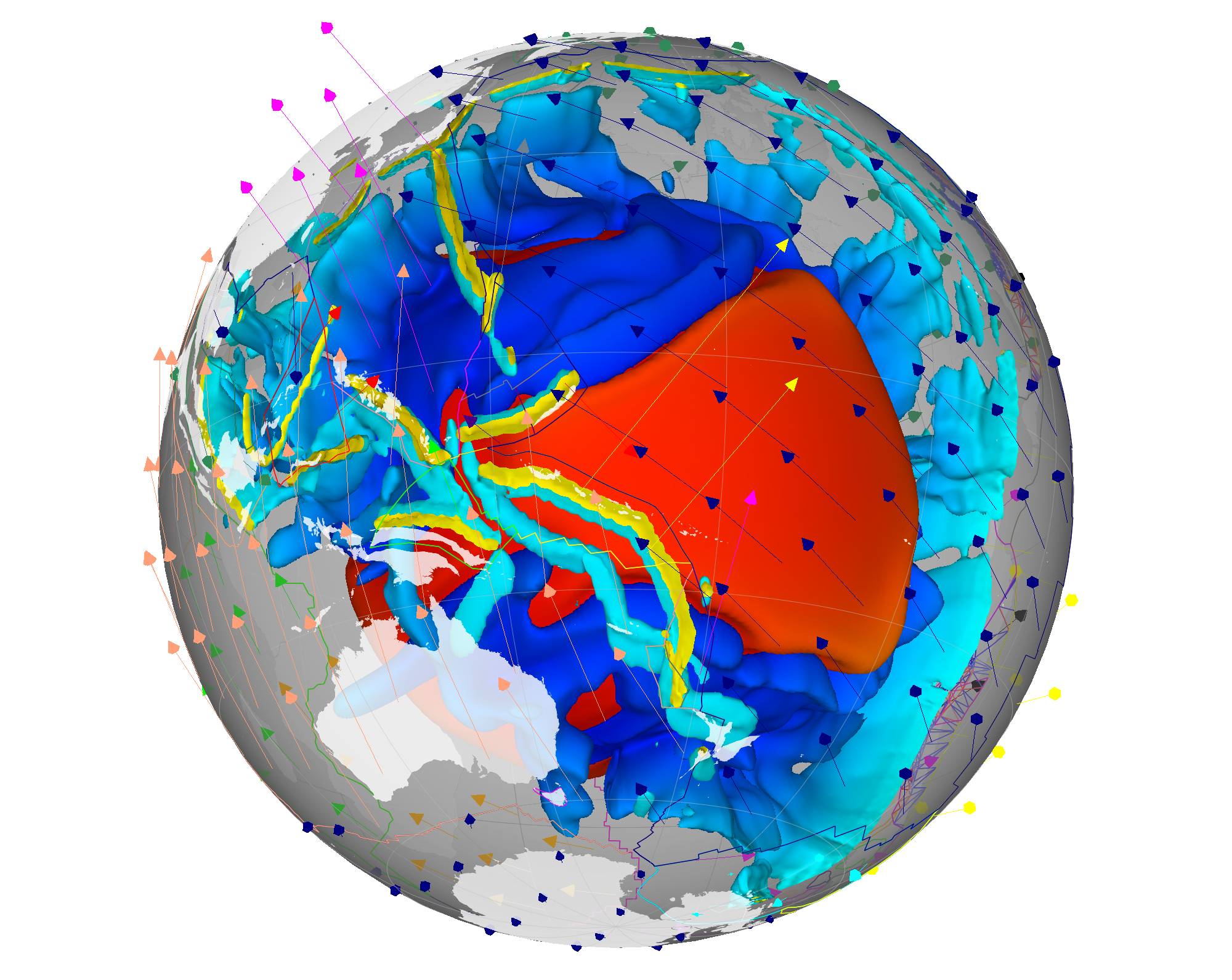
Bower, D. J., Gurnis, M., & Flament, N. (2015). Assimilating lithosphere and slab history in 4-D Earth models. Physics of the Earth and Planetary Interiors, 238, 8-22. doi: 10.1016/j.pepi.2014.10.013. Assimilating lithosphere and slab history in 4-D Earth models

Earth-Science Reviews – Geological and kinematic constraints on late Cretaceous to mid Eocene plate boundaries in the Southwest Pacific

Matthews, K. J., Williams, S. E., Whittaker, J. M., Müller, R. D., Seton, M., & Clarke, G. L. (2015). Geologic and kinematic constraints on Late Cretaceous to mid Eocene plate boundaries in the southwest Pacific. Earth-Science Reviews, 140, 72-107. doi: 10.1016/j.earscirev.2014.10.008. Geologic and kinematic constraints on Late Cretaceous to mid Eocene plate boundaries in the southwest … Read more…

What is EarthByte?

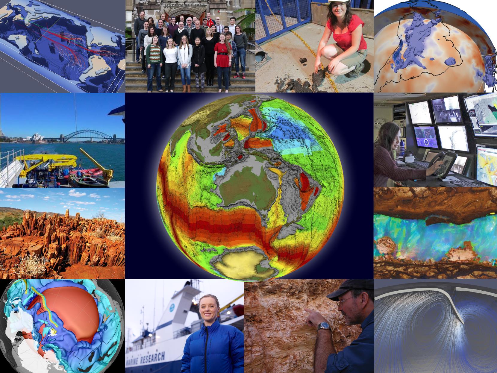
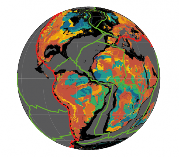
Various images of EarthByte research

EarthByte is an internationally leading eGeoscience collaboration between several Australian Universities, international centres of excellence and industry partners. One of the fundamental aims of the EarthByte Group is geodata synthesis through space and time, assimilating the wealth of disparate geological and geophysical data into a four-dimensional Earth model including tectonics, geodynamics and surface processes. The … Read more…

GPlates

raster_0029Ma

GPlates is desktop software for the interactive visualisation of plate tectonics. The EarthByte Group leads the development of the open-source plate reconstruction software GPlates. GPlates enables the interactive manipulation of plate tectonic reconstructions and the visualisation of geodata through geological time, and it facilitates interoperability of plate tectonic data and models with geodynamic computing services for … Read more…

GPlates Portal

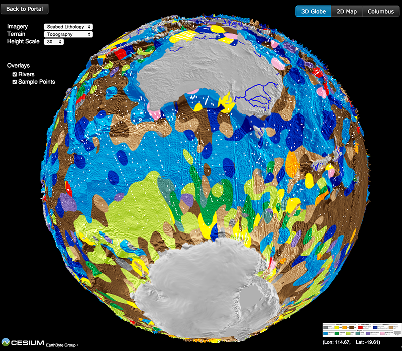
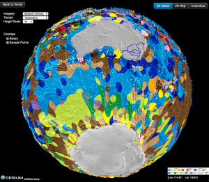
Lithology globe Aus Ant view

Lithology globe Aus Ant viewThe GPlates Portal is a free and interactive cloud-based tool that enables the visualisation of cutting-edge geoscience datasets. Using a published plate kinematic model, datasets can be reconstructed back through time to the Jurassic, 200 million years ago.

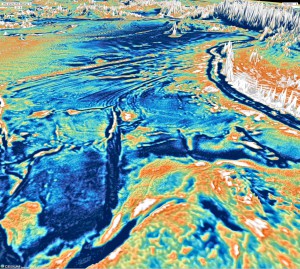
Currently, global satellite-derived vertical gravity gradient data can be visualised via the Portal, and global maps of free-air gravity anomalies and magnetic anomalies can be tectonically reconstructed.

The GPlates Portal is also the gateway to the Paleomap Maker, a web service designed to provide researchers with plate-tectonic data reconstruction and visualization services. The core reconstruction engine is powered by the cutting-edge open-source plate-tectonic reconstruction software, GPlates, and the visualization is made available by using Matplotlib Basemap Toolkit. … Read more…

Share

The Basin GENESIS Hub

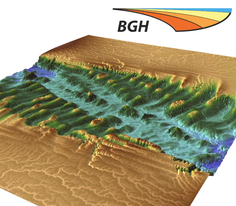
Basin GENESIS Hub logo

The ARC Research Hub for Basin Geo-dynamics and Evolution of Sedimentary Systems (Basin Genesis Hub, BGH) brings together a broad range of expertise for the development and application of cutting-edge numerical modelling tools with the aim of improving the understanding of the formation and evolution of basins. The coupling of the evolution of mantle flow, … Read more…

GPlates Industry Consortium

PTEC logo

The EarthByte Group has established a consortium of companies to fund ongoing development of GPlates software and ancillary software and plugins as well as the EarthByte global plate kinematic model.

AuScope

Auscope

GPlates development by the EarthByte Project is part of the AuScope infrastructure-development programme. AuScope Ltd is a non-profit company formed to facilitate the implementation of a world-class infrastructure system for earth science, funded by the Australian Government under the National Collaborative Research Infrastructure Strategy (NCRIS). The EarthByte Project participates in two components of the AuScope … Read more…

University of Sydney courses

USyd Undergraduate Courses Geos1003 Introduction to Geology Geos2111 Natural Hazards: a GIS Approach Geos2114 Volcanoes, Hot Rocks and Minerals Geos2115 Oceans, Coasts & Climate Change Geos2124 Fossils & Tectonics Geos3101 Earth’s Structure and Evolution Geos 3103 Environmental and Sedimentary Geology Geos3104 Geophysical Methods Geos3008 Field Geology and Geophysics USyd Honours Courses Numerical Modelling Using Ellipsis … Read more…

The Virtual Geological Observatory: a 4D view into the earth through deep-time data-mining (VIRGO)

Presentations Image

Project Summary
Australian Laureate Fellow Prof. Dietmar Müller and the EarthByte Group within the University of Sydney’s School of Geosciences are embarking on an ambitious new research program: building a Virtual Geological Observatory.

Fifty percent of Australia’s export income comes from the minerals and energy sector. Over three-quarters of these exports come from deposits discovered prior to 1980. … Read more…

Share

The Virtual Observatory: Deep time travel in the Pacific, presented by Dietmar Müller

Deep Time Travel — it’s not just science fiction! The EarthByte Group is developing an Experimental Virtual Planet to explore Earth’s geological evolution, enabling deep time travel from your own laptop, anywhere, anytime, and all without a police box. In this illustrated talk, Australian Laureate Fellow Professor Dietmar Müller reports on the experimental work of … Read more…

Geo★ Down Under

Geo★ Down Under is an open and self-organising community loosely coordinated by Louis Moresi of the ANU. We welcome new writers, editors and supporters. If you are interested, drop us a line: editors_gdu@agora.geo-down-under.geoscience.education We receive support from AuScope to power the engines behind the website and the community forum and mailing lists. AuScope also provides us with writing support … Read more…

Linking rift propagation barriers to excess magmatism at volcanic rifted margins

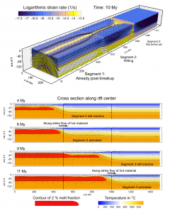
Koopmann etal 2014 Model EvolutionCitation
Koopman, H., Brune, S., Franke, D. and Breuer. 2014. Linking rift propagation barriers to excess magmatism at volcanic rifted margins. Geology (Pre-Issue Publication 15. Oct), doi: 10.1130/G36085.

Summary
Break-up–related extrusive magmatism, imaged in reflection seismic data as seaward-dipping reflectors (SDRs), extends sym- metrically along the volcanic margins of the Atlantic Ocean. Recent research found distinct along-margin variations in the distribution of SDRs, and abundance of volcanic material was found to be spatially linked to transfer fault systems. These segmented the propagating rift that later developed into the ocean, and are interpreted as rift propa- gation barriers. Based on these observations, we develop a numeri- cal model, which shows that rift-parallel mantle flow and locally enhanced rates of volcanism are the result of delays in rift propaga- tion and segmented opening. … Read more…

Share

Science – New global marine gravity model from Cryo-Sat-2 and Jason-1 reveals buried tectonic structure

Sandwell, D. T., Müller, R. D., Smith, W. H., Garcia, E., & Francis, R. (2014). New global marine gravity model from CryoSat-2 and Jason-1 reveals buried tectonic structure. science, 346(6205), 65-67. doi: 10.1126/science.1258213.

New global marine gravity model from CryoSat-2 and Jason-1 reveals buried tectonic structure

Download supplementary material – pdf

Read more…

Share

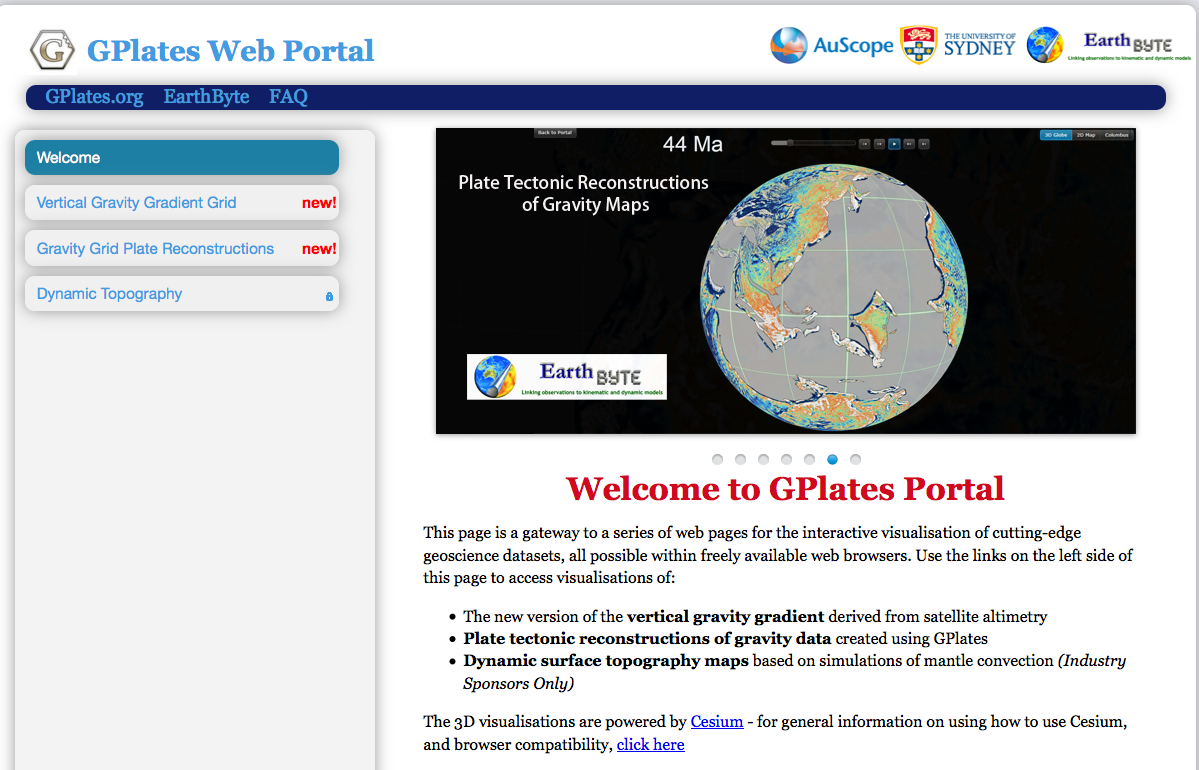
New GPlates Portal available

GPlates Portal Figure

EarthByte have launched a new cloud-based GPlates Web Portal that was used by almost 40 000 users over the last long-weekend! It took GPlates software over ten years to get that many users, so this is a huge achievement and also makes GPlates accessible to a broader audience! The GPlates portal can be used to … Read more…

New global marine gravity model, Sandwell et al. (2014)

Indian Ocean View Westward from AustraliaCitation
Sandwell, D. T., Müller, R. D., Smith, W. H. F., Garcia, E. and Francis, R. 2014. New global marine gravity model from Cryo-Sat-2 and jason-1 reveals buried tectonic structure. Science, Vol. 346, 6205, pp. 65-67, doi: 10.1126/science.1258213.

Summary
New global marine gravity model from CryoSat-2 and Jason-1 reveals buried tectonic structure.

View the new gravity map in an online 3D portal!

Gravity models are powerful tools for mapping tectonic structures, especially in the deep ocean basins where the topography remains unmapped by ships or is buried by thick sediment. We combined new radar altimeter measurements from satellites CryoSat-2 and Jason-1 with existing data to construct a global marine gravity model that is two times more accurate than previous models. We found an extinct spreading ridge in the Gulf of Mexico, a … Read more…

Share