Volcanoes, geysers and earthquakes! – 89.7 Eastside FM
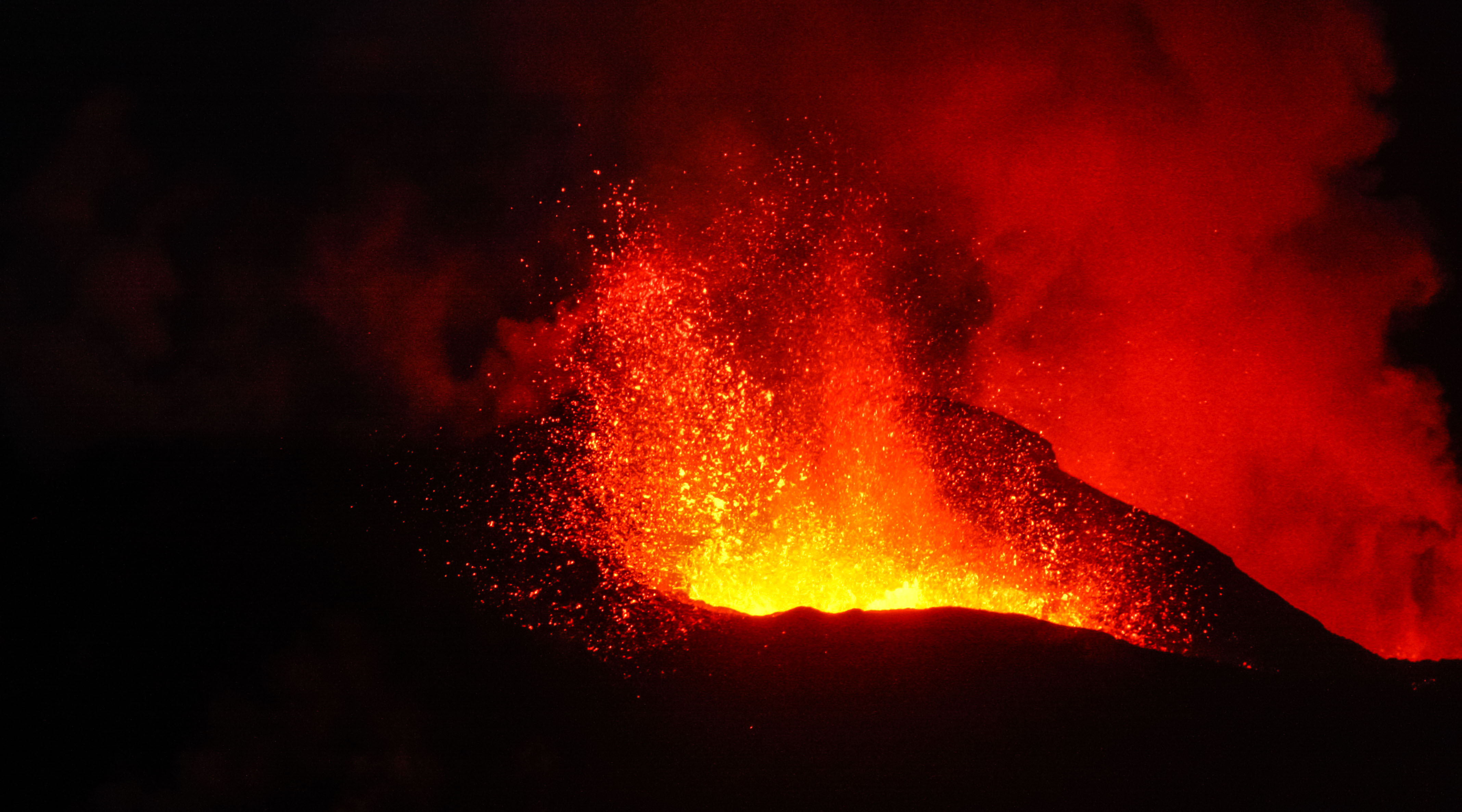
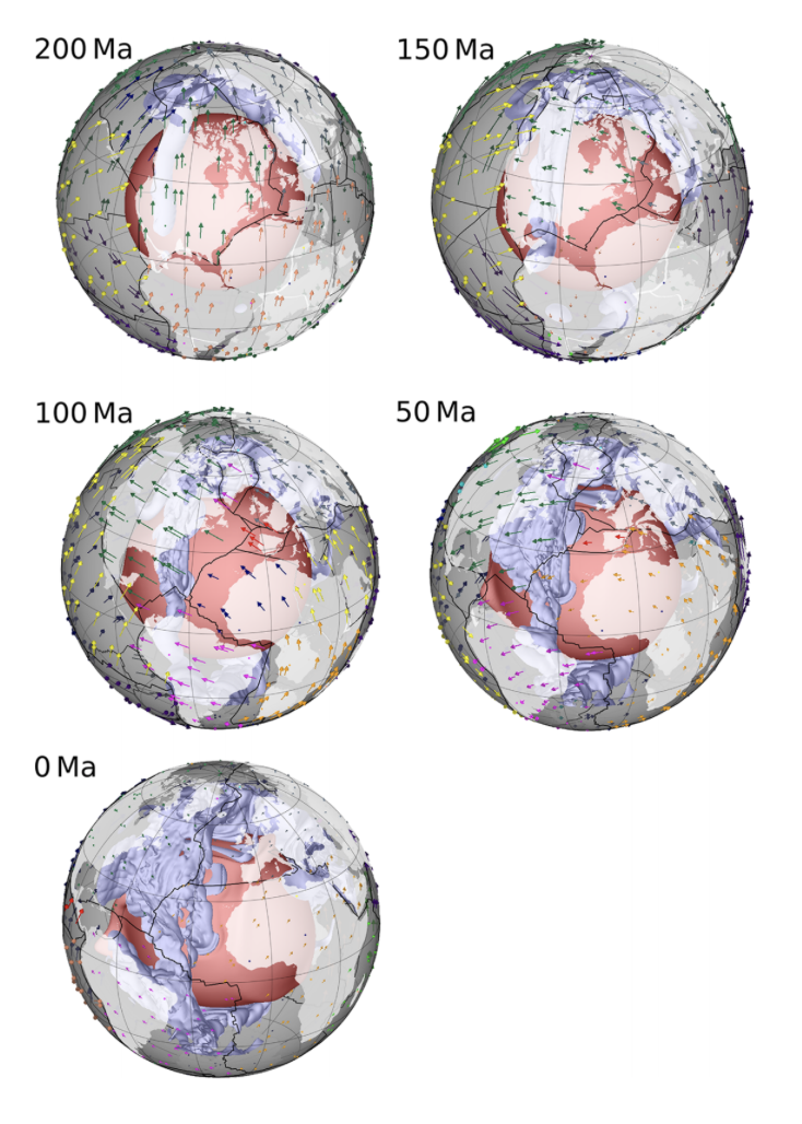
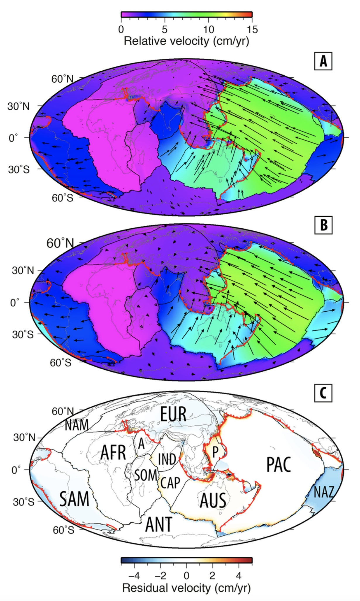
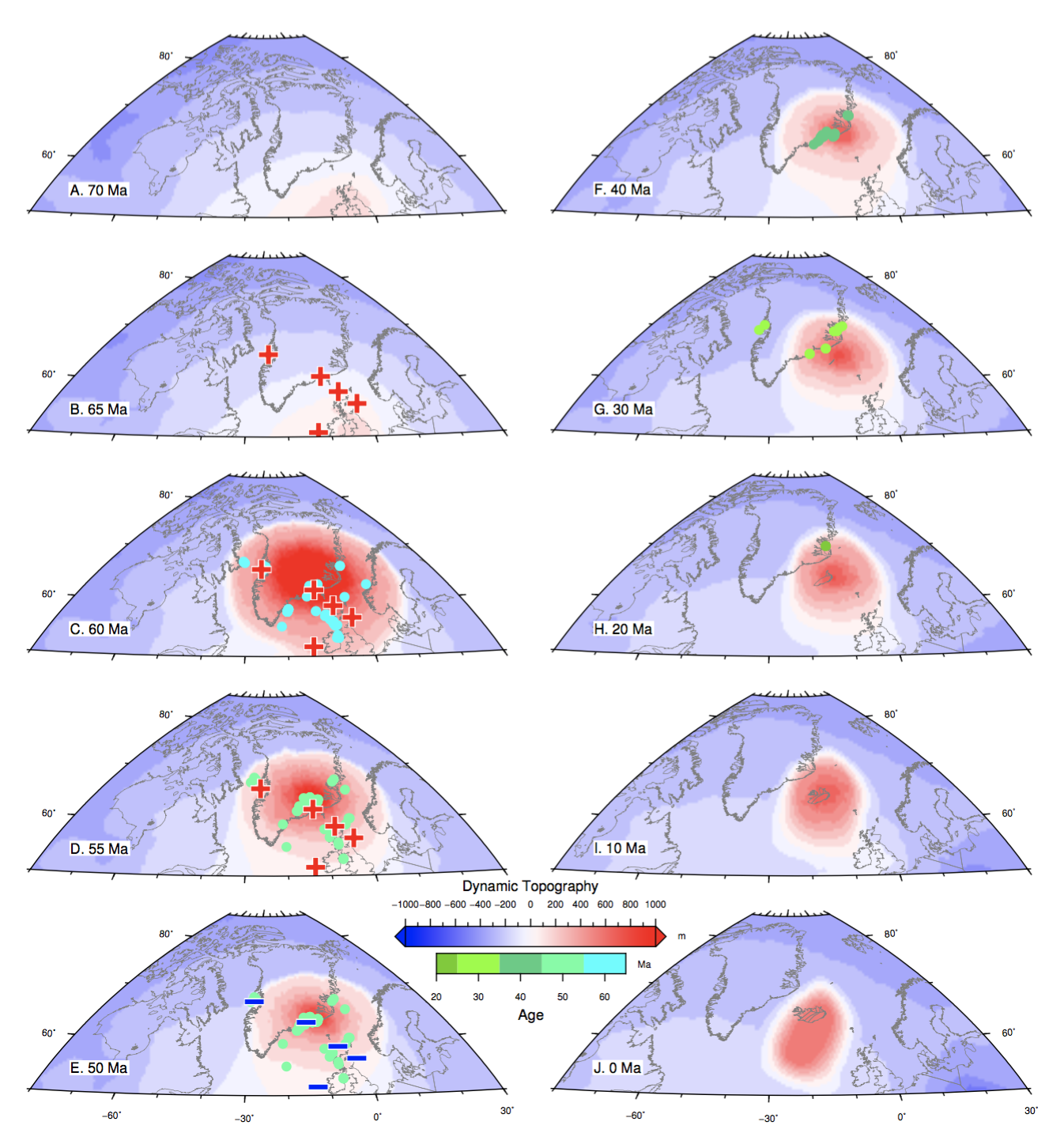
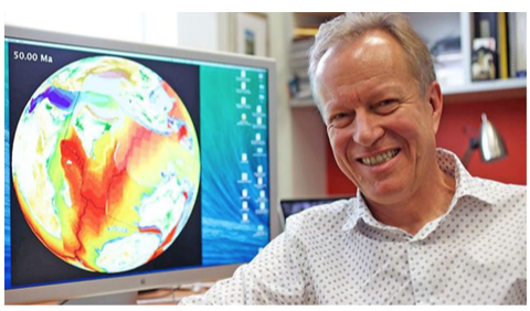
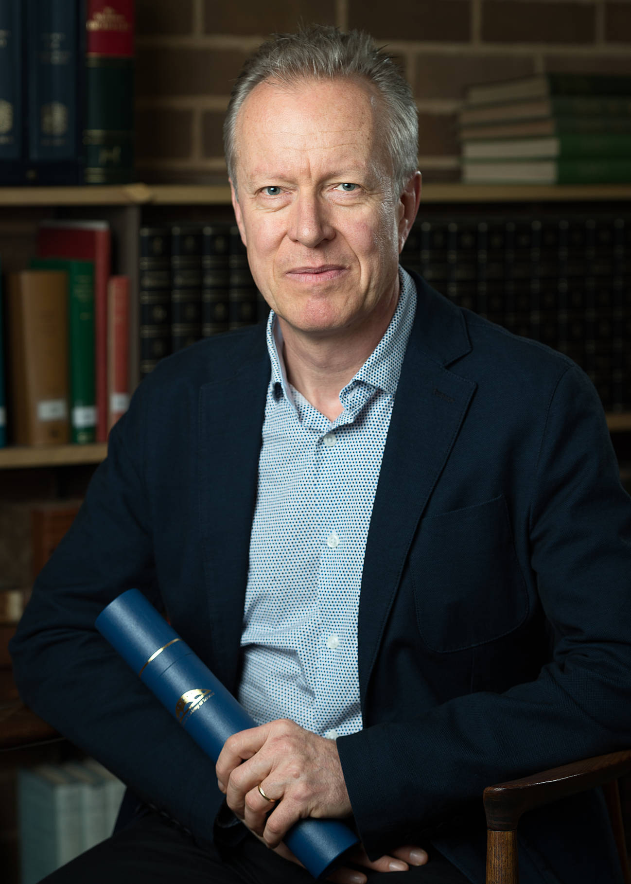
A recent trip to Iceland piqued Sylvia’s curiosity about nearly every geological feature she saw. Back in Sydney, she explored those features – volcanoes, geysers, earthquakes, tectonic plates – with Dietmar Muller, Professor of Geophysics at the University of Sydney. That conversation went to air on Arts Wednesday 16 August 2017 and you can listen … Read more…