Earth and Planetary Science Letters – Assessing the role of slab rheology in coupled plate-mantle convection models

Bello, L., Coltice, N., Tackley, P. J., Müller, R. D., & Cannon, J. (2015). Assessing the role of slab rheology in coupled plate-mantle convection models. Earth and Planetary Science Letters, 430, 191–201. http://dx.doi.org/10.1016/j.epsl.2015.08.010 Assessing the role of slab rheology in coupled plate-mantle convection models

Tectonophysics – Full-fit reconstruction of the South China Sea conjugate margins

Bai, Y., Wu, S., Liu, Z., Müller, R. D., Williams, S. E., Zahirovic, S., & Dong, D. (2015). Full-fit reconstruction of the South China Sea conjugate margins. Tectonophysics, 661, 121–135. http://dx.doi.org/10.1016/j.tecto.2015.08.028 Full-fit reconstruction of the South China Sea conjugate margins

GPlates Portal International Media Coverage

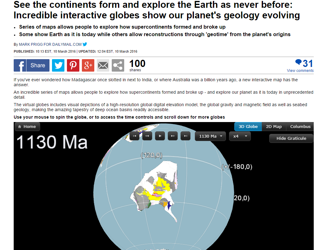
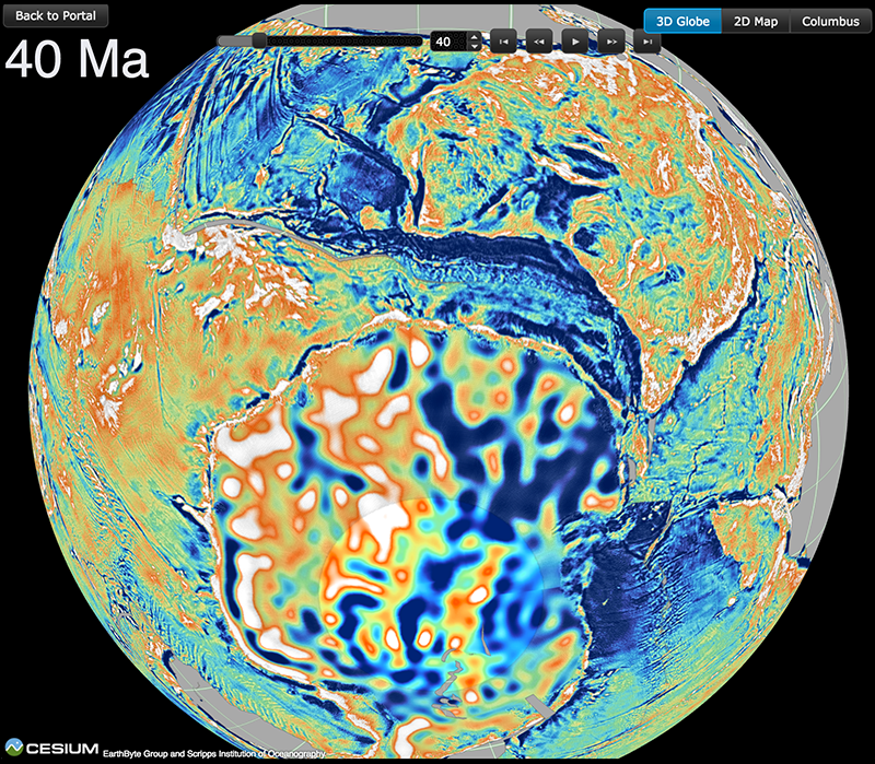
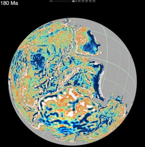
gravity_grid_180my_agoThe recent article on the GPlates Portal published in PLOS ONE by Prof Dietmar Müller, Xiaodong Qin, Prof David Sandwell, Dr Adriana Dutkiewicz, Dr Simon Williams, Dr Nicolas Flament, Dr Stefan Maus, and Dr Maria Seton, has received significant international media attention over the past week, featuring in articles from Australia, UK, US, India, and UAE!

See the list of online media below, and check out the interactive globes yourself!

Read more…

Share

Virtual Time Machine Of Earth’s Geology Now In The Cloud

gravity_grid_180my_agoHow did Madagascar once slot next to India? Where was Australia a billion years ago?

Cloud-based virtual globes developed by a team led by University of Sydney geologists mean anyone with a smartphone, laptop or computer can now visualise, with unprecedented speed and ease of use, how the Earth evolved geologically. 

Reported today in PLOS ONE, the globes have been gradually made available since September 2014. Some show Earth as it is today while others allow reconstructions through ‘geological time’, harking back to the planet’s origins.  

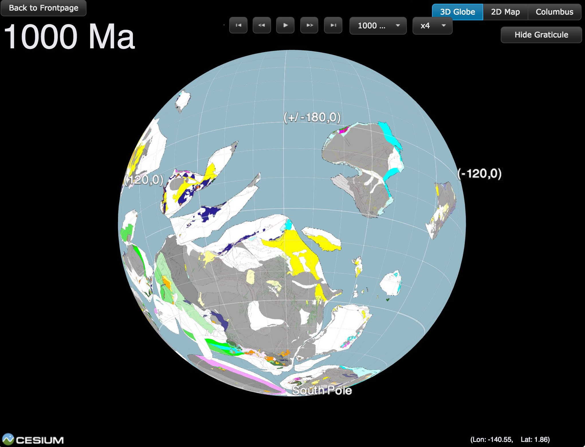
Uniquely, the portal allows an interactive exploration of supercontinents. It shows the breakup and dispersal of Pangea over the last 200 million years. It also offers a visualisation of the supercontinent Rodinia, which existed 1.1 billion years ago. Rodinia gradually fragmented, with some continents colliding again more than 500 million years later to form Gondwanaland.   

Read more…

Share

2016 supercomputing resources

Basin GENESIS Hub logo

The EarthByte group has been awarded 11 million computing hours, representing the equivalent of k$AU440, to carry out research for the Basin GENESIS Hub on the supercomputers Raijin (National Computational Infrastructure) and Magnus (Pawsey Supercomputing Centre) for 2016 through the National Computational Merit Allocation Scheme (7.25 MSUs, one of the top 4 allocations across all disciplines … Read more…

EarthByte/Scripps research features on NASA Earth Observatory

Triplejunction gis 2014 (Copyright NASA Earth Observatory)

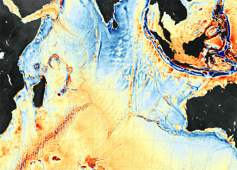
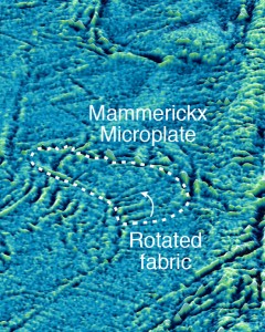
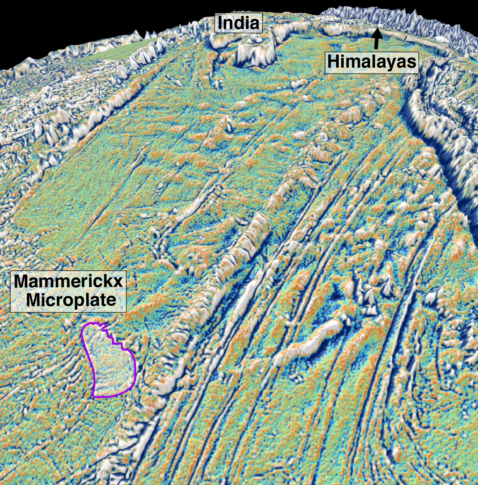
NASA Earth Observatory features a piece on the recent Mammerickx Microplate discovery. Their Image of the Day for 13 January 2016 is a satellite gravity map of the Indian Ocean, and the associated article, entitled ‘New Seafloor Map Helps Scientists Find New Features‘, discusses the power of satellite data for seafloor mapping and details the … Read more…

Earth and Planetary Science Letters – Oceanic microplate formation records the onset of India–Eurasia collision

Mammerickx Microplate zoom

Author List: Kara Matthews, Dietmar Müller and David Sandwell Citation: Matthews, K. J., Müller, R. D., & Sandwell, D. T. (2016). Oceanic microplate formation records the onset of India–Eurasia collision. Earth and Planetary Science Letters, 433, 204-214. Oceanic microplate formation records the onset of India–Eurasia collision

History and current advances in reconstructing the Earth through deep geological time

Rodinia 1000 Ma

Rodinia 1000 MaTime machine: History and current advances in reconstructing the Earth through deep geological time – an article on Quartz by Steve LeVine. The article is a review of the development of ideas and technologies in reconstructing the Earth through deep time, aimed at understanding supercontinent assembly, breakup and dispersal, starting with Alfred Wegener. The article focusses on research activities in the context of the IGCP 648 project ‘Supercontinent Cycles and Global Geodynamics‘ led by Zheng-Xiang Li. The piece provides some historical context, and highlights the work of a number of leading scientists, postdoctoral researchers and PhD students currently involved in this work.  … Read more…

Share

Deep Carbon Modelling and Visualisation Project

The Deep Carbon Observatory (DCO) is a 10-year international research initiative to connect scientists from diverse fields and facilitate collaborative research and technology development in the field of deep carbon science. In order to address barriers to communicating the planetary carbon cycle to the public, a Modeling and Visualization workshop was held in May 2015 in Washington D.C. to bring … Read more…

Mammerickx Microplate media coverage

Mammerickx Microplate zoom

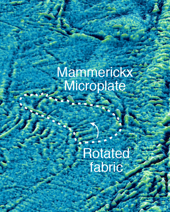
Mammerickx Microplate zoomThe recent EPSL article on the discovery of the Mammerickx Microplate, by Dr Kara Matthews, Prof Dietmar Müller and Prof David Sandwell, has received lots of media attention from many different countries around the world including Australia, UK, USA, India, Pakistan, Mexico, Nepal and Honduras.

See below for a list of media items:

Online Media
The biggest continental collision in Earth’s history: Scientists pinpoint crashing together of continents that created the Himalayas 50 million years ago – Daily Mail
Scientists fix date for earth-shattering Himalayan birth pangs – The Sydney Morning Herald
Microplate discovery dates birth of Himalayas – EurekAlert!
Himalayas: Discovery of first ancient Indian Ocean microplate hints at new date of formation of mountain range – Yahoo! News  … Read more…

Share

Ancient Indian Ocean microplate discovery dates birth of Himalayas

Mammerickx Microplate

Mammerickx MicroplateAn international team of scientists led by the University of Sydney’s School of Geosciences has discovered that the crustal stresses caused by the initial collision between India and Eurasia cracked the Antarctic Plate far away from the collisional zone and broke off a fragment the size of Tasmania in a remote patch of the central Indian Ocean.

The ongoing tectonic collision between the two continents produces enormous geological stresses that build up along the Himalayas and lead to numerous earthquakes every year – but now scientists have unravelled how stressed the Indian Plate became 47 million years ago when its northern edge first collided with Eurasia. … Read more…

Share

Ocean basin evolution and global-scale plate reorganization events since Pangea breakup

Seafloor ages from Müller et al.

Seafloor ages from Müller et al.Citation
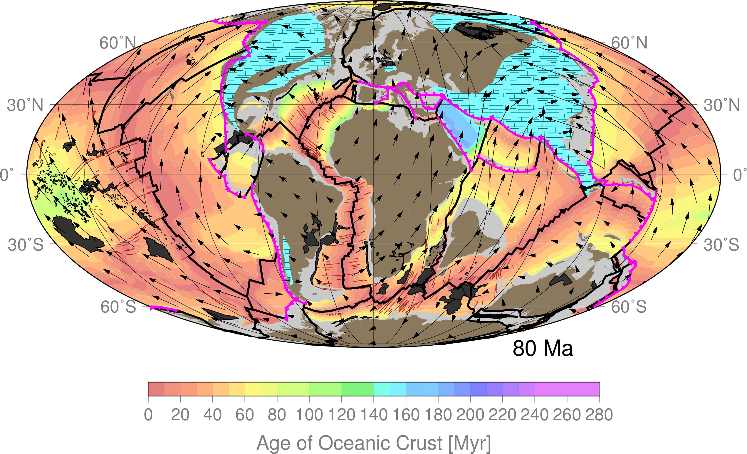
Müller R.D., Seton, M., Zahirovic, S., Williams, S.E., Matthews, K.J., Wright, N.M., Shephard, G.E., Maloney, K.T., Barnett-Moore, N., Hosseinpour, M., Bower, D.J., Cannon, J., 2016. Ocean basin evolution and global-scale plate reorganization events since Pangea breakup, Annual Review of Earth and Planetary Sciences, Vol 44, 107-138. DOI: 10.1146/annurev-earth-060115-012211.

Abstract
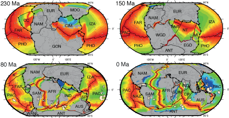
We present a revised global plate motion model with continuously closing plate boundaries ranging from the Triassic at 230 Ma to the present day, assess differences between alternative absolute plate motion models, and review global tectonic events. Relatively high mean absolute plate motion rates around 9–10 cm yr-1 between 140 and 120 Ma may be related to transient plate motion accelerations driven by the successive emplacement of a sequence of large igneous provinces during that time. … Read more…
Share

Deep Carbon Observatory (DCO) proposal funded

Global plate reconstruction

A Deep Carbon Observatory (DCO) Proposal, designed to study the interaction of subduction zones with carbonate platforms through time in terms of CO2 cycles, submitted to the Smithsonian Institution and prepared to a large extent by Dr Sabin Zahirovic and EarthByte Research Assistant Jodie Pall, was successful, raising $US36k. The DCO actually doubled our proposed budget from … Read more…

Ore Geology Reviews – Prospectivity of Western Australian iron ore from geophysical data using a reject option classifier

Prospectivity of Western Australian iron ore from geophysical data using a reject option classifier - figure

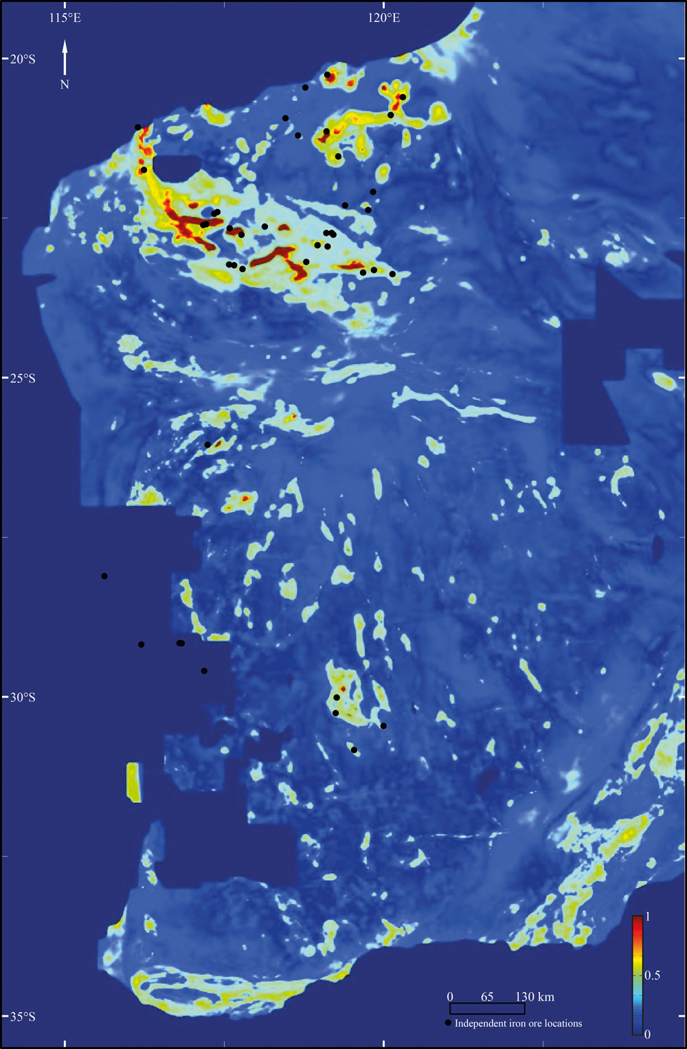
Merdith, A. S., Landgrebe, T. C., & Müller, R. D. (2015). Prospectivity of Western Australian iron ore from geophysical data using a reject option classifier. Ore Geology Reviews. http://dx.doi.org/10.1016/j.oregeorev.2015.03.014 Prospectivity of Western Australian iron ore from geophysical data using a reject option classifier Download supplementary material – zip file

Prospectivity of Western Australian iron ore from geophysical data using a reject option classifier

Prospectivity of Western Australian iron ore from geophysical data using a reject option classifier - figure

Prospectivity of Western Australian iron ore from geophysical data using a reject option classifier - figureCitation
Merdith, A. S., Landgrebe, T. C., & Müller, R. D. (2015). Prospectivity of Western Australian iron ore from geophysical data using a reject option classifier. Ore Geology Reviews. http://dx.doi.org/10.1016/j.oregeorev.2015.03.014

Abstract
There has recently been a rapid growth in the amount and quality of digital geological and geophysical data for the majority of the Australian continent. Coupled with an increase in computational power and the rising impor- tance of computational methods, there are new possibilities for a large scale, low expenditure digital exploration of mineral deposits. Here we use a multivariate analysis of geophysical datasets to develop a methodology that utilises machine learning algorithms to build and train two-class classifiers for provincial-scale, greenfield min- eral exploration. … Read more…

Share

Seafloor lithology of the ocean basins

Lithology globe Aus Ant view

Lithology globe Aus Ant viewCitation
Dutkiewicz, A., Müller, R. D., O’Callaghan, S., & Jónasson, H. (2015). Census of seafloor sediments in the world’s ocean. Geology, G36883-1. doi: 10.1130/G36883.1.

Abstract
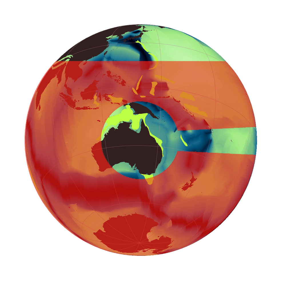
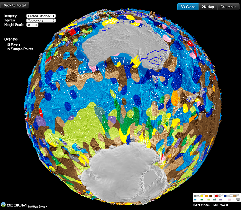
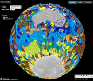
Knowing the patterns of distribution of sediments in the global ocean is critical for understanding biogeochemical cycles and how deep-sea deposits respond to environmental change at the sea surface. We present the first digital map of seafloor lithologies based on descriptions of nearly 14,500 samples from original cruise reports, interpolated using a support vector machine algorithm. We show that sediment distribution is more complex, with significant deviations from earlier hand-drawn maps, and that major lithologies occur in drastically different proportions globally. … Read more…

Share

Homeward Bound… Big Data Reveals Geology of World’s Ocean Floor

Lithology globe Aus Ant view

The 2015 Ocean Innovation (OI) conference takes place in St. John’s, Newfoundland and Labrador, Canada during October and focuses on “mapping our oceans.” For each OI conference, a special issue of The Journal of Ocean Technology (JOT) that complements the conference’s theme is released. A series of essays, peer review technical papers, and columns are included and … Read more…

Homeward Bound… Big Data Reveals Geology of World's Ocean Floor

Lithology globe Aus Ant view

The 2015 Ocean Innovation (OI) conference takes place in St. John’s, Newfoundland and Labrador, Canada during October and focuses on “mapping our oceans.” For each OI conference, a special issue of The Journal of Ocean Technology (JOT) that complements the conference’s theme is released. A series of essays, peer review technical papers, and columns are included and … Read more…

Influence of subduction history on South American topography

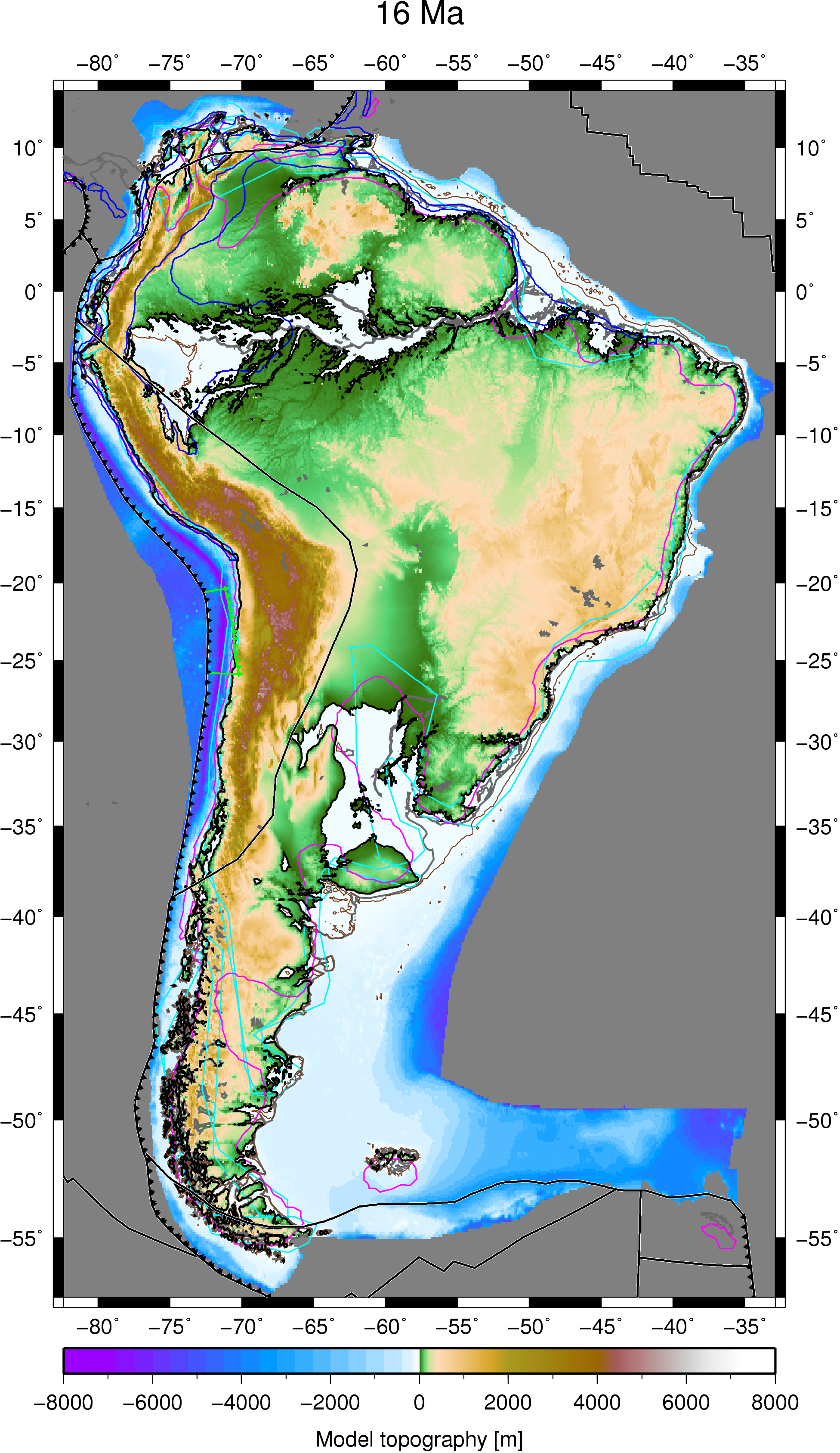
Case 4 paleotopography 16MaCitation
Flament, N., Gurnis, M., Müller, R. D., Bower, D. J., & Husson, L. (2015). Influence of subduction history on South American topography. Earth and Planetary Science Letters, 430, 9-18. doi: 10.1016/j.epsl.2015.08.006.

Abstract
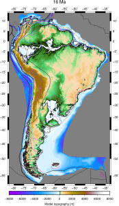
The Cenozoic evolution of South American topography is marked by episodes of large-scale uplift and subsidence not readily explained by lithospheric deformation. The drying up of the inland Pebas system, the drainage reversal of the Amazon river, the uplift of the Sierras Pampeanas and the uplift of Patagonia have all been linked to the evolution of mantle flow since the Miocene in separate studies. Here we investigate the evolution of long-wavelength South American topography as a function of subduction history in a time-dependent global geodynamic model. This model is shown to be consistent with these inferred changes, as well as with the migration of the Chaco foreland basin depocentre, that we partly attribute to the inboard migration of subduction resulting from Andean mountain building. … Read more…

Share

Earth and Planetary Science Letters – Influence of subduction history on South American topography

Case 4 paleotopography 16Ma

Flament, N., Gurnis, M., Müller, R. D., Bower, D. J., & Husson, L. (2015). Influence of subduction history on South American topography. Earth and Planetary Science Letters, 430, 9-18. doi: 10.1016/j.epsl.2015.08.006. Influence of subduction history on South American topography

EarthByte attends JAMSTEC workshop in Tokyo

Lord Howe Rise workshop JAMSTEC August 2015

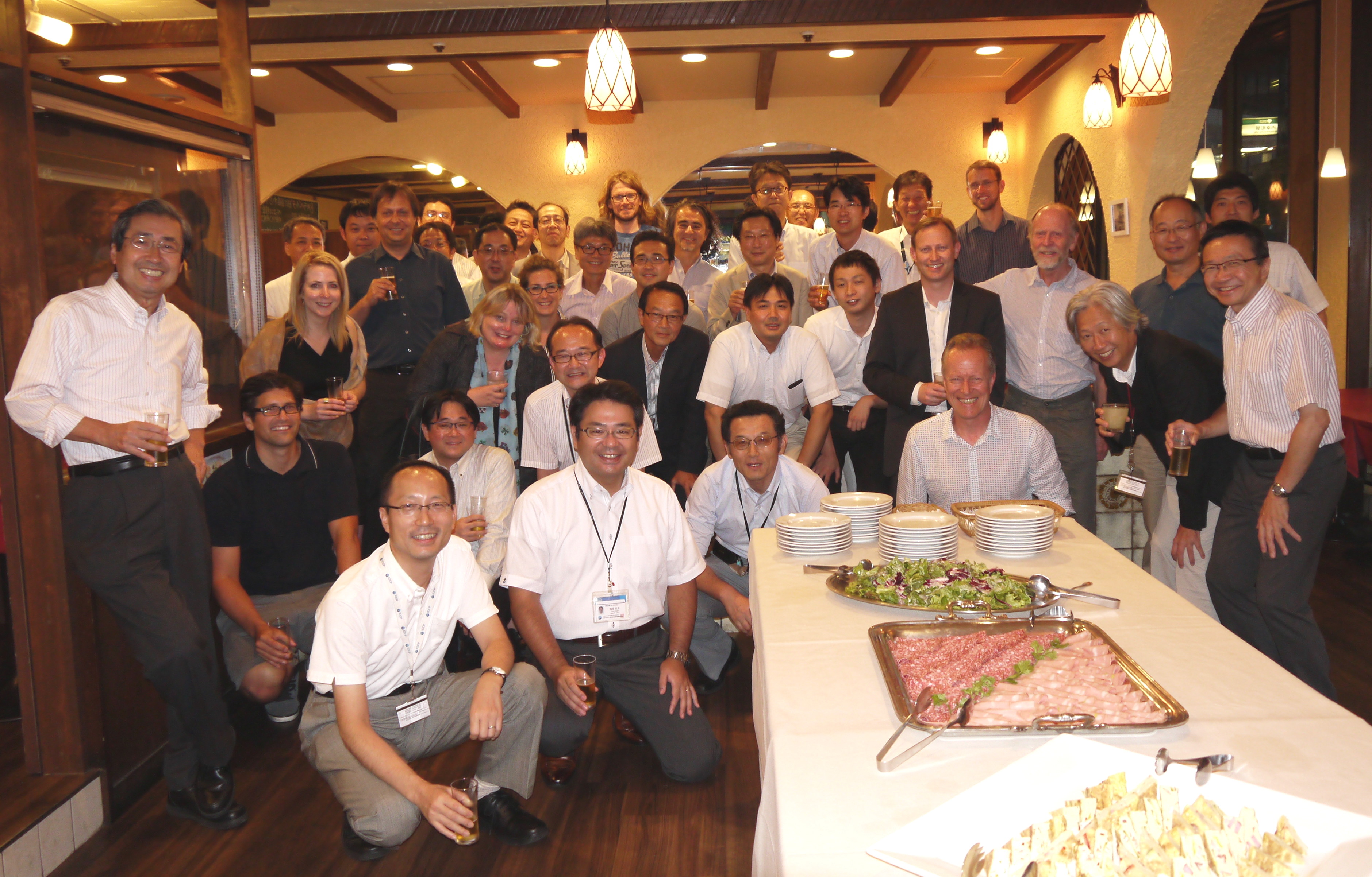
Lord Howe Rise workshop JAMSTEC August 2015A group of international scientists, including EarthByter Dietmar Müller, is gathering this week at the Japan Agency for Marine-Earth Science and Technology (JAMSTEC) in Tokyo to put the finishing touches on an IODP proposal to drill through the Cretaceous stratigraphic section of the Lord Howe Rise (LHR), a submerged continental fragment that was once part of eastern Gondwanaland. The principal Australian agency in this collaborative project with JAMSTEC is Geoscience Australia, with Andrew Heap playing a leading role. The main emergent part of the LHR today is Lord Howe Island, an eroded remnant of a 7 million year old shield volcano, known to many Australians as a fine, but slightly pricey, getaway from the hustle and bustle of city life, full of kingfish, great beaches, a pristine coral reef and excellent outcrops of volcanic rocks and calcarenites. But what does not meet the eye is what lies underneath: several kilometers of Cenozoic and Cretaceous sediments that provide a rich record of subduction along eastern Gondwanaland, … Read more…

Share

Opening of ARC Basin Genesis INDUSTRIAL TRANSFORMATION RESEARCH HUB

Basin GENESIS Hub opening group photo 19 August 2015

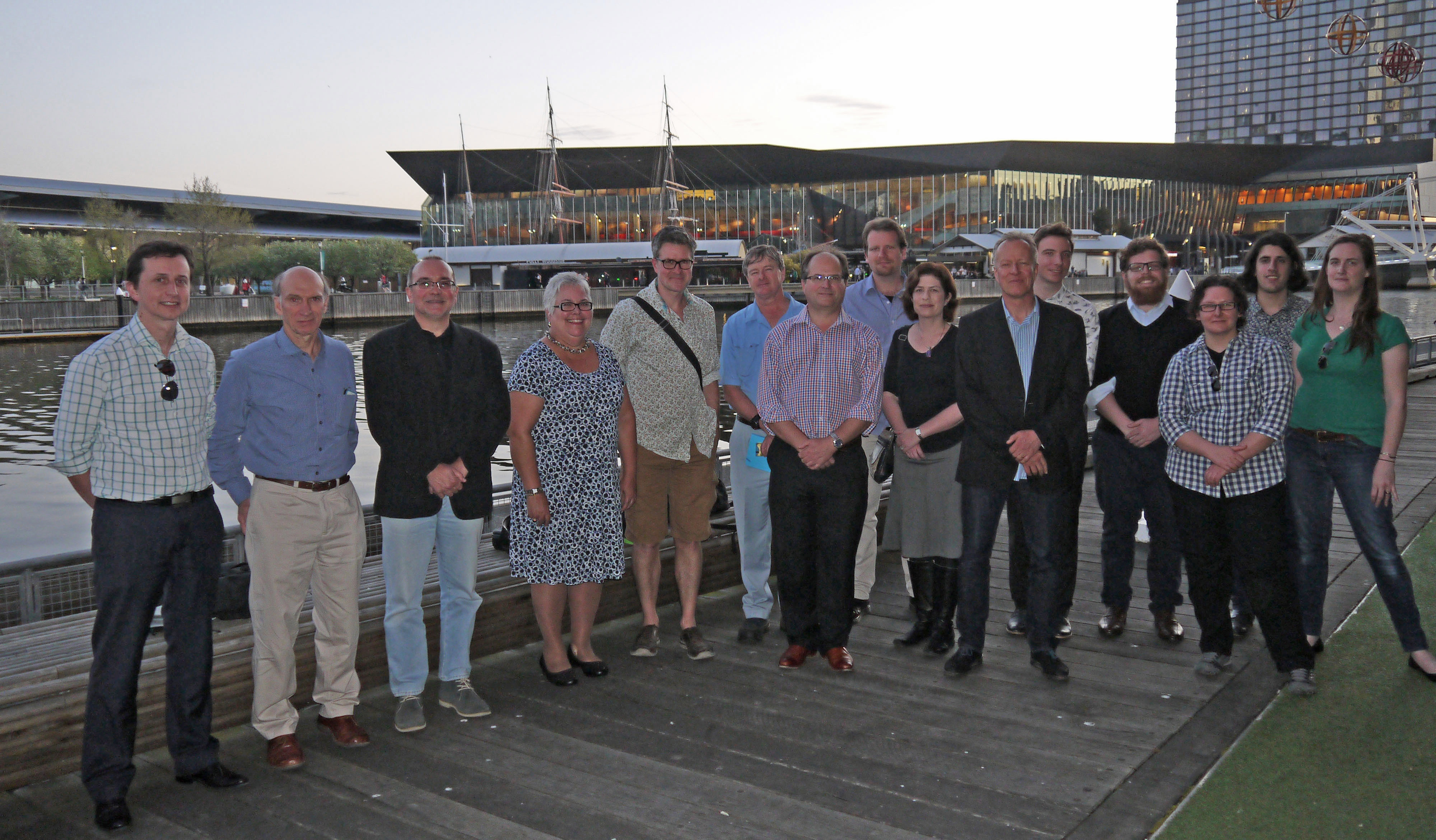
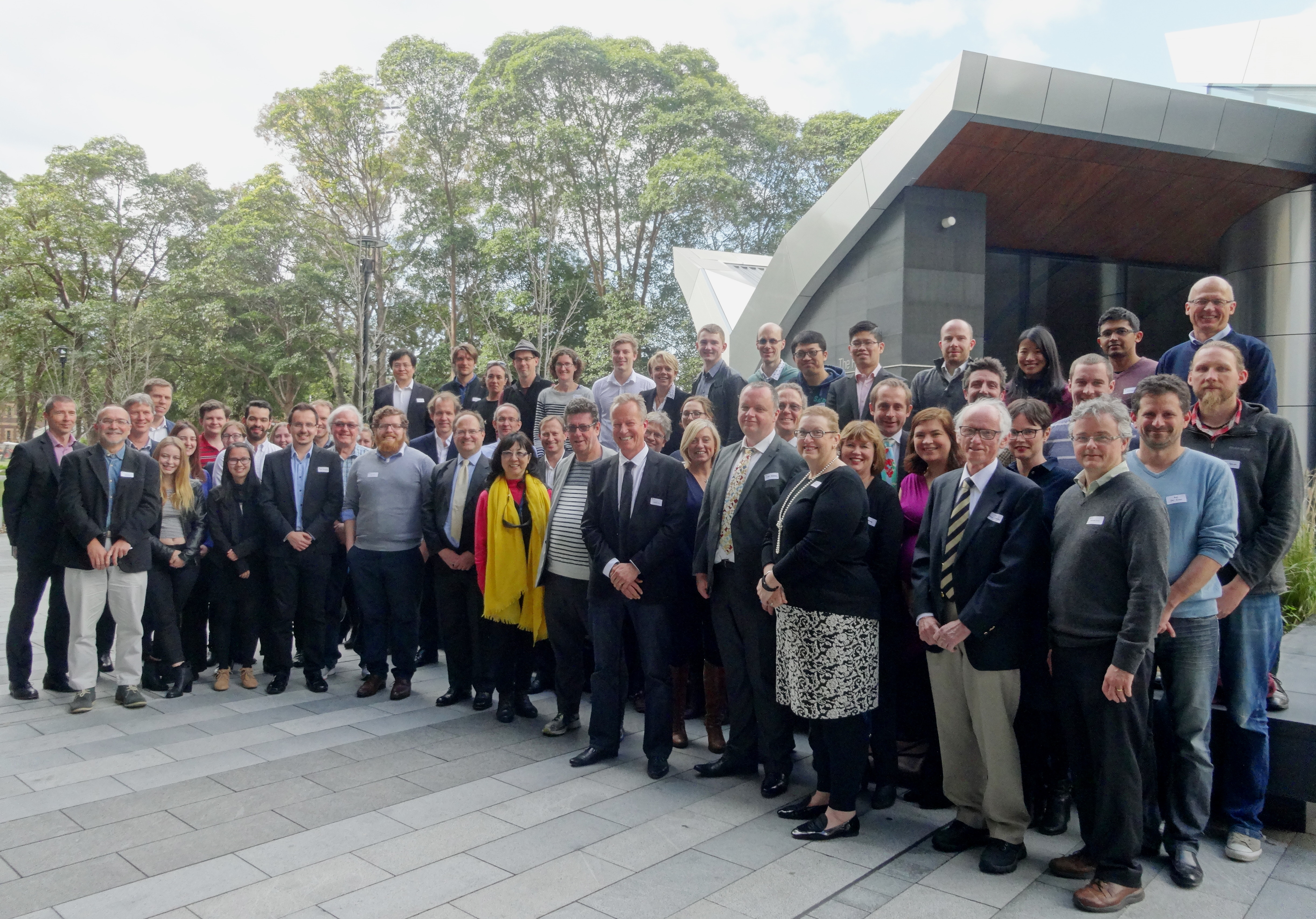
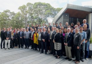
Basin GENESIS Hub opening group photo 19 August 2015The ARC Research Hub for Basin Geodynamics and Evolution of Sedimentary Systems (Basin GENESIS Hub) opened today at a reception held in the Charles Perkins Centre at the University of Sydney. The launch as attended by representatives from Universities, industry, Geoscience Australia, the ARC, the NCI and the Office of the NSW Chief Scientist and Engineer.

The Basin GENESIS Hub will use computer modelling to fine-tune our understanding of the nation’s sedimentary basins, which hold many of the natural resources we use in day-to-day life.

The research will be of fundamental importance to the geo-software industry used by exploration and mining companies, explains Hub Director Professor Dietmar Müller from the University of Sydney.  … Read more…

Share

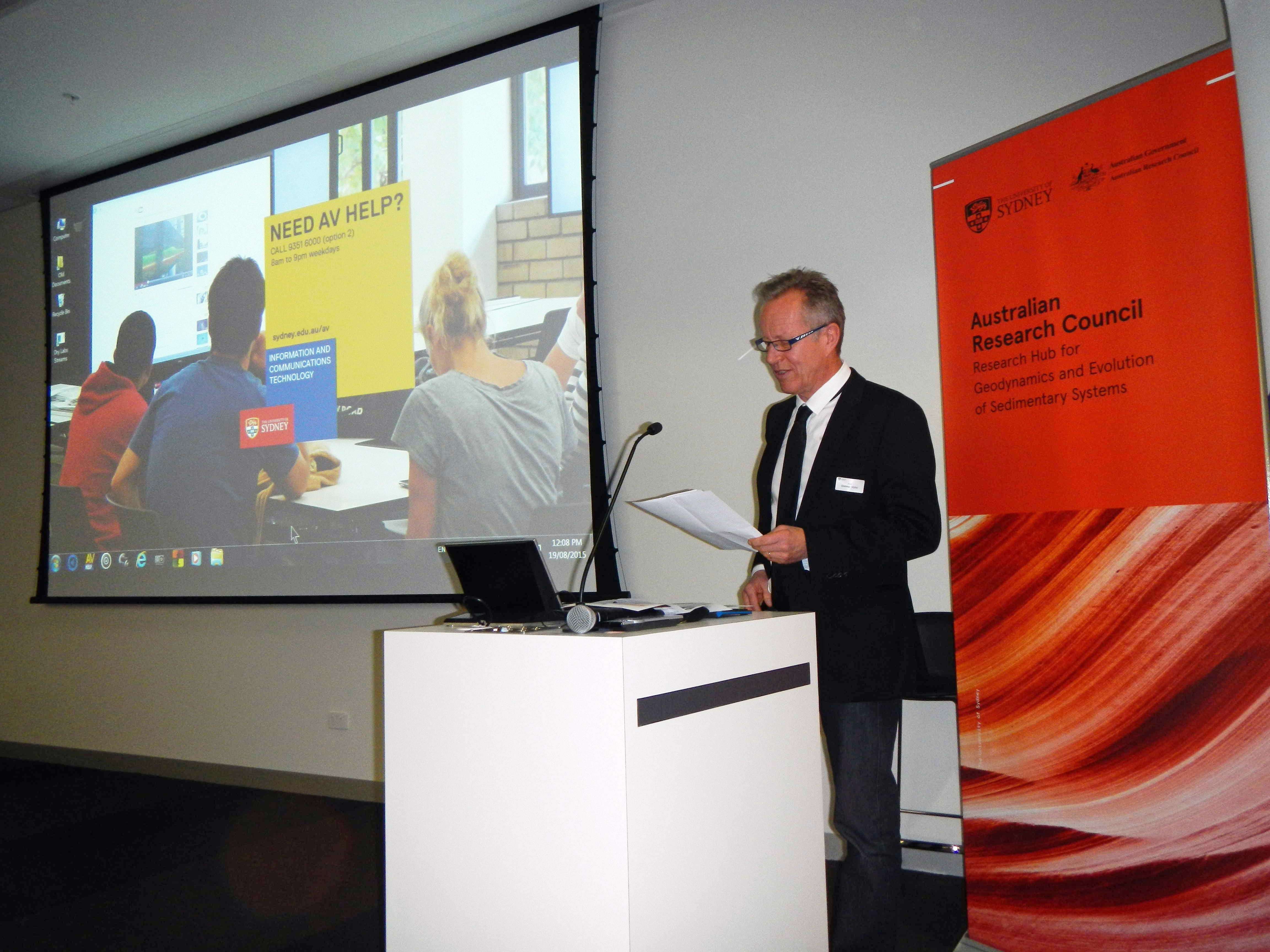
Opening speech, ARC Research Hub for Basin GEodyNamics and Evolution of SedImentary Systems

Dietmar Müller's BGH opening speech 19 August 2015

Dietmar Müller's BGH opening speech 19 August 2015Prof Dietmar Müller, Wed 19 August 2015

Good afternoon! On behalf of the University of Sydney and the School of Geosciences I welcome you to the opening of the ARC Research Hub for Basin GEodyNamics and Evolution of SedImentary Systems (in short Basin Genesis Hub).

Before we begin the proceedings, I would like to acknowledge and pay respect to the traditional owners of the land on which we meet – the Gadigal people of the Eora Nation. It is upon their ancestral lands that the University of Sydney is built.

I would like to extend a special thank you to our industry partners, Statoil, Chevron, Oil Search, Intrepid Geophysics and 3D-GEO, many of whom are here today. We are especially pleased to have with us today Ms Leanne Harvey, Executive General Manager of the ARC.  … Read more…

Share

Ocean sediment map makes world news

Lithology globe Aus Ant view

Lithology globe Aus Ant viewThe recently-published ocean sediment map made by Dr Adriana Dutkiewicz and colleagues has taken the world’s media by storm. It’s been reported online and in press, from Australia to Cuba, Hungary and many other countries! See the updated list of media items below, and check out the link to the interactive 3D globe with the ocean sediments map.

Countries where the story has been covered so far:

Australia, UK, USA, India, Italy, Germany, Spain, Hungary, Austria, Cuba, Costa Rica and Peru.

Radio Interviews
ABC 774 Melbourne
World’s first digital seafloor map reveals ‘paradise’ – ABC Rural Radio
ABC 702 Sydney
BBC Radio 5 Live’s “Up All Night”
It took more than a year of research and sifting through thousands of samples to generate the world’s first digital map of the seafloor – ABC Country Radio (Interview at 41:10)  … Read more…

Share

Virtual seafloor geology globe spinning North-South

Lithology globe Aus Ant view

This spinning virtual seafloor geology globe is composed of a set of screen captures of an interactive digital globe portraying the distribution of different seafloor sediments available at the Gplates Portal.Citation Dutkiewicz, A., Müller, R. D., O’Callaghan, S., & Jónasson, H. (2015). Census of seafloor sediments in the world’s ocean. Geology, G36883-1. doi: 10.1130/G36883.1.Download paper … Read more…

Virtual seafloor geology globe spinning East-West

Lithology globe Aus Ant view

This spinning virtual seafloor geology globe is composed of a set of screen captures of an interactive digital globe portraying the distribution of different seafloor sediments available at the Gplates Portal.Citation Dutkiewicz, A., Müller, R. D., O’Callaghan, S., & Jónasson, H. (2015). Census of seafloor sediments in the world’s ocean. Geology, G36883-1. doi: 10.1130/G36883.1.Download paper … Read more…

Big data reveals geology of world’s ocean floor

Lithology globe Aus Ant view

Lithology globe Aus Ant viewA team led by the University of Sydney School of Geosciences has created the first digital globe of seafloor sediments.

Ocean sediments cover 70% of our planet’s surface, forming the substrate for the largest ecosystem on Earth and its largest carbon reservoir – but the most recent map of seafloor geology was drawn by hand over 40 years ago, at the dawn of modern ocean exploration.

That’s about to change. In a gargantuan effort Adriana Dutkiewicz and her colleagues carefully analysed and categorised 15,000 seafloor sediment samples to reveal the nature of sedimentary blankets over ocean ridges, seamounts and the vast abyssal plains. She teamed up with big data experts to find the best way to use modern computer algorithms to turn the vast sea of point observations into a continuous digital map.  … Read more…

Share

Big Data Knowledge Discovery

Big Data Knowledge Discovery is an interdisciplinary research initiative that focuses on the scientific challenges and opportunities presented by the use of the new techniques of data science applied in the natural sciences. This research initiative brings together world class discipline leaders in the data-intensive sciences of Geo Sciences, Life Sciences and Physical Sciences with … Read more…